Q-Commerce Brands Scrape Google Maps Data to Refine And Optimize Delivery Coverage
July 15
Introduction
In today’s fast-paced Q-commerce landscape, accurate location intelligence plays a crucial role in ensuring efficient and reliable last-mile delivery. This case study explores how a leading quick-commerce provider overcame key logistical hurdles by implementing advanced techniques to Scrape Google Maps Data for enhanced delivery zone mapping and real-time location accuracy across multiple urban regions.
Facing challenges such as fragmented address datasets, inconsistent delivery zones, and routing inefficiencies, the company turned to customized Q-Commerce Delivery Data Scraping solutions. Our strategic approach helped them navigate Google Maps’ strict scraping defenses and complex spatial data layers, enabling the extraction of highly relevant geospatial insights tailored to their delivery ecosystem.
The outcome was transformative. With the integration of our geospatial data extraction strategy, the platform enhanced its delivery precision, redefined route optimization, and improved last-mile efficiency. These improvements laid the groundwork for scalable and more innovative logistics within the competitive digital commerce landscape.
Client Success Story
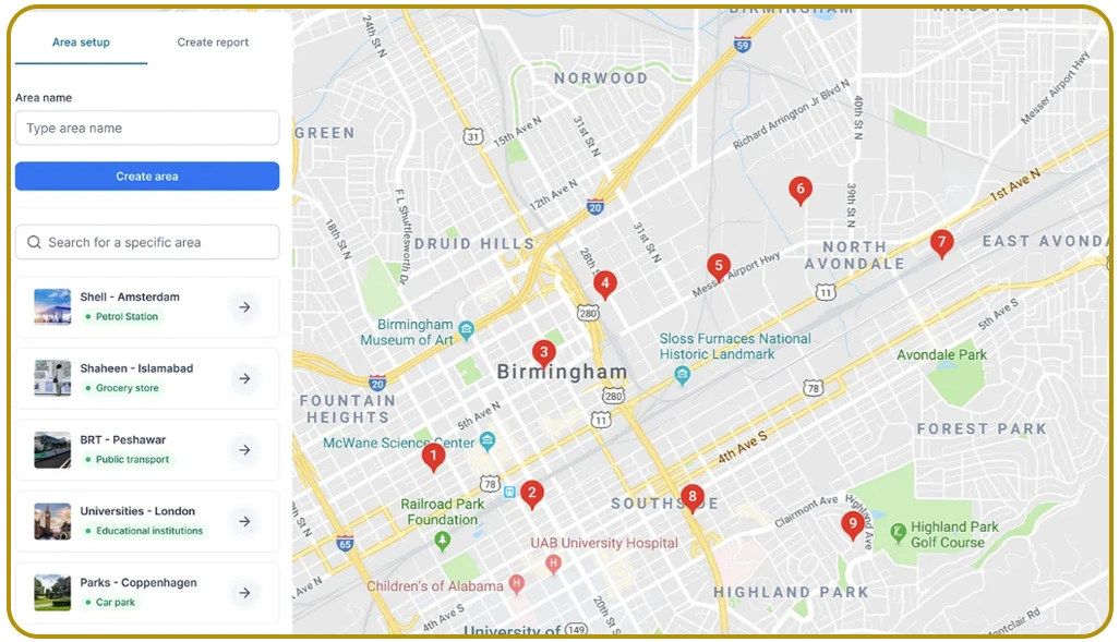
Our client is a leading quick-commerce platform delivering essential goods across eight major cities. After three years of rapid expansion and logistics innovation, they found themselves struggling in the competitive hyperlocal delivery space. Their key challenge was that rivals were leveraging advanced methods to Scrape Google Maps Data and outpacing them in operational precision.
“Our delivery network lacked accurate geographic coverage,” shared the Logistics Director. “Outdated location data led to delivery issues and poor customer experience. Without proper Google Maps Location Data Scraping, we couldn’t spot high-demand zones or scale efficiently. We were falling behind.”
By integrating our advanced location intelligence capabilities, the client was able to rethink their delivery network design, gaining detailed insights into urban micro-patterns and streamlining decision-making across regions.
After just eight months, the outcomes were transformative:
- 42% boost in delivery success rate
- 31% drop in operating expenses
- 28% growth in customer satisfaction
- 24% faster route planning execution
The Core Challenges
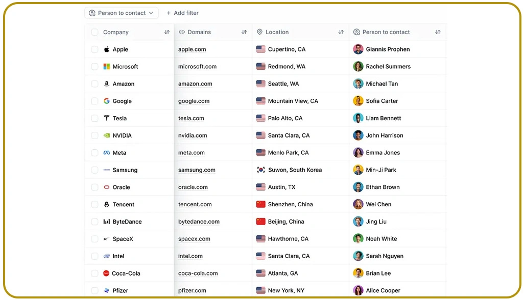
Operating in the fast-paced quick-commerce space, the client faced several critical issues impacting their delivery efficiency and data strategy.
Mapping Access Hurdle
Overcoming restrictions to Extract POI Data From Google Maps required advanced strategies to bypass dynamic rendering, security checks, and throttling, ensuring uninterrupted and structured access to POI content.
Geo Format Disarray
Location standardization was hindered by inconsistent regional formats across business types and categories, which complicated the POI Dataset For Delivery Planning and reduced operational data clarity.
Territory Load Strain
Scalability in Delivery Zone Optimization Using Data was limited by inefficient processing, which restricted the timely delivery of insights and hindered the execution of location-based strategies across vast market territories.
Smart Solution
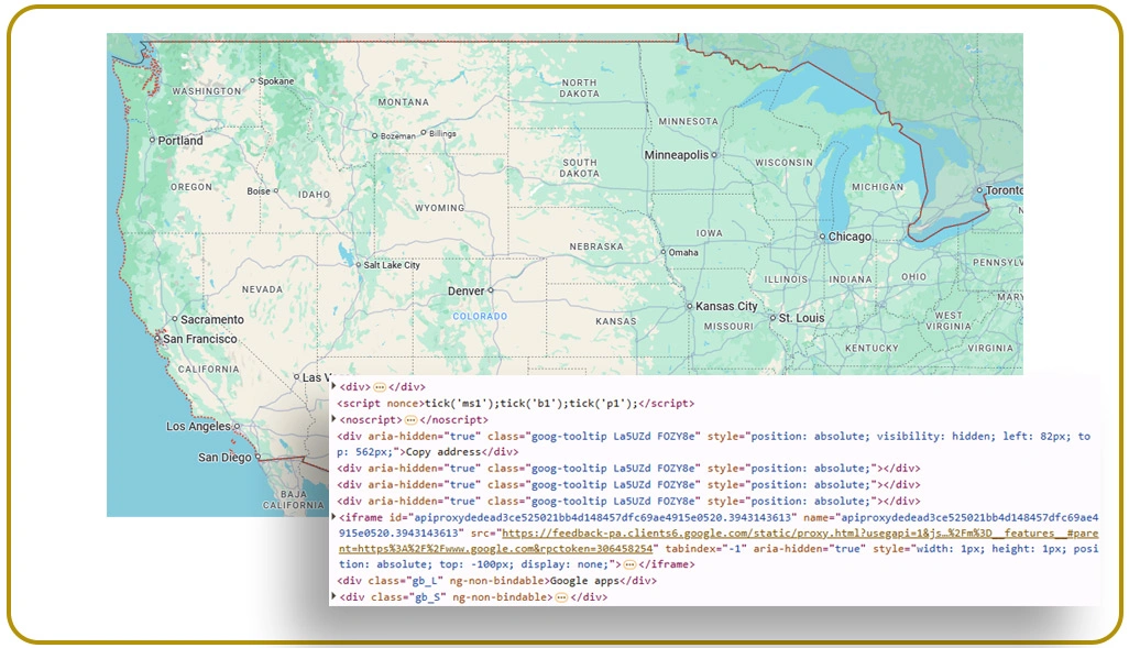
After evaluating the client's goals and technical needs, we delivered a specialized solution utilizing advanced geospatial extraction techniques designed for Google Maps' architecture.
Location Insight Engine
The Location Insight Engine enables Google Maps API Scraping For Businesses using stealth protocols, browser automation, and IP rotation to track POI shifts, business listings, and metro trends.
Delivery Mapping Hub
The Delivery Mapping Hub supports Last-Mile Delivery Optimization Data by unifying formats, automating region tagging, analyzing drop density, and visualizing zones for smarter distribution and planning.
Q-Commerce Geo Grid
The Q-Commerce Geo Grid utilizes Real-Time Location Data For Q-Commerce, featuring built-in machine learning, smart alerts, and territorial insights to inform intelligent decisions on market growth potential.
Execution Strategy
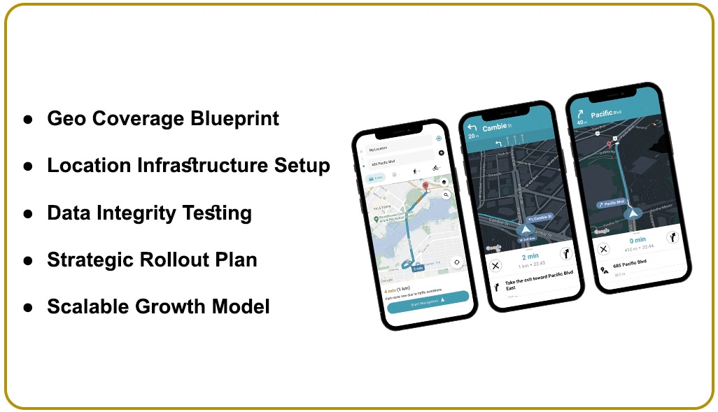
We followed a structured deployment model to ensure smooth integration and lasting performance across all stages of our geospatial solution.
Geo Coverage Blueprint
We assessed Google Maps’ data layers, aligning geospatial intelligence with performance metrics to craft a tailored Q-Commerce Delivery Data Scraping framework suited for strategic market targeting.
Location Infrastructure Setup
Advanced pattern detection frameworks helped us build a resilient system to Scrape Locations From Google Maps with structured schemas supporting analytics, planning, and seamless cross-departmental integration.
Data Integrity Testing
Through repeated simulation, stress validation, and consistency checks, we ensured high performance under peak loads while validating Real-Time Location Data For Q-Commerce across varying delivery use cases.
Strategic Rollout Plan
A staged implementation enabled phased rollouts in target areas, backed by team onboarding, proactive monitoring, and dedicated support to ensure scalable, efficient Phased Deployment Strategy outcomes.
Scalable Growth Model
Our Enterprise Scaling Initiative empowered widespread extraction across regions with agile infrastructure, backed by continuous improvements and training to support evolving data demands and market agility.
Impact & Results
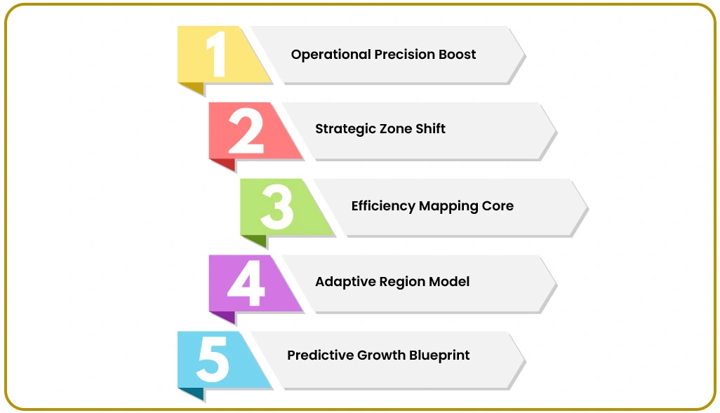
Our Google Maps intelligence solution drove measurable improvements in operational efficiency and long-term strategy.
Operational Precision Boost
Using Google Maps Location Data Scraping, the client fine-tuned service zones through data-backed strategies, significantly improving delivery accuracy and overall customer experience quality across regions.
Strategic Zone Shift
Through Delivery Zone Optimization Using Data, the client expanded service coverage, refined growth planning, and reinforced their positioning with more innovative regional strategies and improved territorial control.
Efficiency Mapping Core
By deploying automation to Extract POI Data From Google Maps, the client reduced expansion errors, minimized delays, and restructured internal focus toward smarter growth and customer satisfaction.
Adaptive Region Model
Real-time intelligence enabled the client to quickly adjust to demand fluctuations, track competitors, and realign territories based on customer needs, utilizing innovative geographical data capabilities.
Predictive Growth Blueprint
Backed by ongoing analytics and location intelligence, our system enhanced strategy execution, reduced inefficiencies, and solidified the client's competitive edge through a forward-focused, scalable delivery framework.
Final Takeaways
Advanced geographical intelligence plays a pivotal role in driving growth and precision across today’s fast-moving quick-commerce ecosystem.
Strategic Location Intelligence
Continuous access to comprehensive POI data provides a strategic edge by identifying demographic shifts and market coverage gaps through Q-Commerce Delivery Data Scraping, enabling informed expansion planning.
Geospatial Workflow Integration
The seamless use of a POI Dataset For Delivery Planning within operations enhances the real-time intelligence flow, allowing for accurate, location-based decision-making across evolving commerce-driven logistics and execution strategies.
Automated Location Mapping
Using Google Maps API Scraping For Businesses removes manual mapping hurdles, boosting precision in location analysis and empowering growth teams to act on intelligence rather than conduct research.
Adaptive Tracking Framework
Live demographic sync via continuous geographical tracking sharpens strategy shifts, aligning location behaviors with actionable insights to sustain competitive positioning through dynamic, real-time market intelligence.
Data-Driven Market Command
Advanced geographical extraction technologies enable commerce teams to lead through proactive, intelligence-powered decisions rooted in trends and analytics, ensuring lasting advantage amid market changes.
Client Testimonial

Partnering with Web Data Crawler to Scrape Google Maps Data brought a remarkable shift in how we manage our delivery logistics. The platform delivered reliable location intelligence, helping us make smarter, fact-driven choices. Our focus on Real-Time Location Data For Q-Commerce has since driven measurable improvements in speed, precision, and service efficiency.
– Head of Operations, Leading Q-Commerce Platform
Conclusion
Understanding the intricate delivery zones and local dynamics is vital for scaling in fast-paced urban environments. With our expert services to Scrape Google Maps Data, businesses can access accurate geospatial insights to improve delivery planning and on-ground efficiency.
Our tailored Google Maps API Scraping For Businesses solutions enable better decision-making and drive more intelligent territory mapping. Contact Web Data Crawler today to discuss how our data-powered strategies can refine your Last-Mile Delivery Optimization Data initiatives.